
Henderson County Now Has a Living Map of Its Food Resources
September 16, 2026
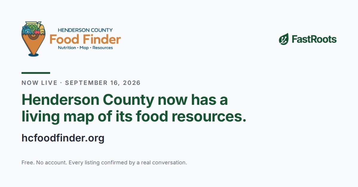
A short one this week, because it is an announcement rather than an argument. This morning the Community Foundation of Henderson County launched the Henderson County Food Finder, the first county where the map keeps getting verified after launch day. The release follows. If you work in or near Henderson County, please send it to whoever answers the "where can I go" question in your building.
FOR IMMEDIATE RELEASE
The Community Foundation of Henderson County launches the Henderson County Food Finder, powered by FastRoots, at hcfoodfinder.org
HENDERSONVILLE, N.C., September 16, 2026. The Community Foundation of Henderson County (CFHC) today launched the Henderson County Food Finder, a free public map of the county's free food resources. Every listing on the map has been confirmed through a direct conversation with the people who run it. The map is available now at hcfoodfinder.org.
The Food Finder is built and maintained by FastRoots, a social-purpose business that maps local food security ecosystems for foundations.
What the map does
Anyone in Henderson County can open the Food Finder on a phone or computer, type in an address, and see which food pantries, meal programs, produce distributions, and other food resources are within a chosen distance. Results can be narrowed to what is open today, by type of program, by what is offered (fresh produce, prepared meals, baby items, pet food), by dietary needs, and by languages spoken. Each listing shows hours, location, eligibility, and how to reach the provider. A public transit overlay shows Apple Country Transit routes and stops for people who are not driving.
The map is meant to be used by neighbors looking for food, and just as much by the people who help them find it: case managers, school counselors, church staff, hospital discharge planners, librarians, and county employees who are asked the same question every day and until now answered it from memory or a printed list.
How the listings were built
43 food resources appear on the map. FastRoots found them by starting from every existing list, then calling and re-contacting each organization to confirm what it actually offers, when, and to whom. Several were not on any prior list at all. Since the first round in 2025 the county's providers have been re-verified two additional times, and the next verification round is scheduled for this fall. Hours change, distributions move, and a program that ran last spring may not run this fall. The Food Finder is maintained so that what it shows is what a person will find when they arrive.
"For years, the answer to 'where else can this family go' lived in someone's head or on a flyer that was out of date the week it was printed. Now there is one map, it has been checked, and the school counselor, the pantry volunteer, and the county health worker are all looking at the same picture. That is what we set out to fund. And because the map shows us where people search and come up empty, it will keep telling us where future attention and support need to go," said Kris Merritt, Senior Program Officer, Community Foundation of Henderson County.
What the Foundation sees
Behind the public map, CFHC staff and the county's food funders work from the same verified provider data, laid over census-tract demographics: population density, residents 65 and older, poverty rates, and the USDA's low-access designations. The Food Finder also records, without identifying anyone, where in the county people searched and whether they found something nearby. Over time that shows the Foundation and its partners where the gaps are, not by estimate but from the searches people in Henderson County actually ran.
"A map of a county's food resources goes stale within a season, which is why most of them are snapshots of a moment," said Matt Corzine, founder of FastRoots. "The Community Foundation asked for the other thing: a map somebody keeps true, that the whole county works from. Henderson County is the first county to have it."
Privacy
The Food Finder requires no account and collects no personal information. Addresses entered into the search are converted to a census tract on the user's own device; only the tract, the result count, and the filters used are recorded. No search history is tied to a person.
Supporting the map
The Food Finder is sustained through a dedicated fund at the Community Foundation of Henderson County, which local and regional funders are joining. Gifts to the fund pay for the ongoing verification work that keeps the map accurate. More information about the Henderson County Food Finder Fund can be found at cfhcforever.org/hcff-fund.
Organizations who do not see their program on the map, or who need a listing corrected, can reach info@fastroots.org. Additionally, organizations that serve Henderson County residents are welcome to link to hcfoodfinder.org from their own websites.
About the Community Foundation of Henderson County
Founded in 1982, Community Foundation of Henderson County is a local philanthropic organization whose mission is helping people who care make lasting contributions to causes that matter. Learn more about Community Foundation of Henderson County at www.cfhcforever.org, or by calling 828-697-6224.
About FastRoots
FastRoots maps local food-security ecosystems for community foundations and the funders they work with. It grew out of the Hurricane Helene response in fall 2024, when its map coordinated food for 45 relief centers across 12 western North Carolina counties, more than 106,000 meals, in partnership with the American Red Cross. The Henderson County Food Finder is its first county-wide, permanently maintained map. FastRoots is based in Asheville, North Carolina. Learn more at fastroots.org.
Media contacts
Matt Corzine, FastRoots, matt@fastroots.org
Isabella Jontz, Community Foundation of Henderson County, ijontz@cfhcforever.org